Inertial Reference Systems for SAR, LIDAR, Photogrammetry and Gravimetry Applications

Inertial Reference Systems for SAR, LIDAR, Photogrammetry and Gravimetry Applications
Inertial measurement systems for high accurate surveying, SAR, LiDAR, photogrammetry, gravimetry / gradiometry and general surveying applications
Weitere Informationen
-
Product Group: Systems for Defense Applications
-
Product Group: Systems for inertial surveying (SAR, Gravimetry etc.)
-
Product Group: INS/GNSS solutions for Surveying, SAR, photogrammetry
-
iMAR's leading inertial products & solutions for advanced applications in navigation, localization, guidance & control
-
What you should know: Short introduction into inertial measuring technology
Verwandte Produkte
-
iNAT-RQT-400x: RLG Based Navigation, Surveying & Control System (0.001 °/sqrt(hr); ITAR free)
-
iNAT-FSLG-01: FOG Based Navigation, Surveying & Control System (0.1 °/h, 1'000 Hz)
-
iNAT-MSLG-5: MEMS Based Navigation, Surveying & Control System (5 °/h, 1'000 Hz)
-
iNAT-M300: Small Light Weight high performance inertial MEMS IMU based Navigation, Surveying & Control System
-
iNAT-U200/RLD Ultra Light Weight INS for Navigation, Surveying & Control (500 Hz)
-
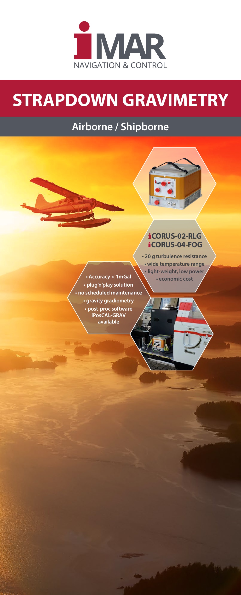
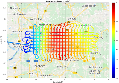
iCORUS Strapdown Airborne Gravimeter Systems
-
iLIANE: LiDAR aided Navigation Equipment - Geo Localization without any GNSS
-
iREF-M300: Advanced GNSS RTK Reference Station


