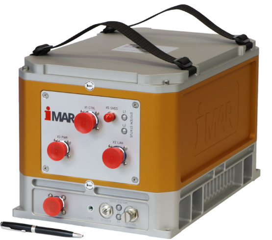
Airborne Strapdown Gravimetry Disturbances Surveying Systems
Most compact and reliable surveying systems for airborne gravimetrc disturbances surveying for tasks of resource exploration and geophysics. The systemsof iCORUS family, based in an iMAR's leading technology with more than 30 years experience in inertial navigation, sensor signal processing and data fusion, show exceptional performance in accuracy, high robustness, low weight (< 20 kg), maintenance-free operation and small size together with a very easy handling.
The systems can also be used in other environment (e.g. sea).