iSmartPos-3D: GPS based True Heading
3D GPS based True Heading and Positioning System
GPS can be used in many applications as a position or attitude reference system in industrial applications. Standard GPS receiver today provide 15 m position accuracy but other output data like true heading or position accuracy on the centimeter or millimeter level are not available or those systems were very expensive in the past.
Now, due to development and implementation of advanced real-time algorithms on raw data basis, iMAR provides the most accurate solution of providing true heading in real-time with an accuracy of < 0.1 degree / meter for a eight-antenna-system (i.e. if the baseline of the outer antennas is 1 m, the performance is 0.1 deg in true heading).
Due to the advanced ionoshere error modellation which is possible with a multi antenna system, the global position error is bounded to approx. 1.5 m or less (without reference station!). Together with a DGPS reference station the position accuracy is in the centimeter to millimeter range (depends on L1 or L1/L2 receiver and calibrated multi antennas).
iSMARTpos-3D deliveres 10 Hz data (option 100 Hz). It can be combined with INS to obtain data with higher bandwidth and even there where the sky is temporarily covered.
It can be used e.g. for the following applications:
Agriculture:
|
Drones, UAVs, UCAVs:
|
Telematics:
|
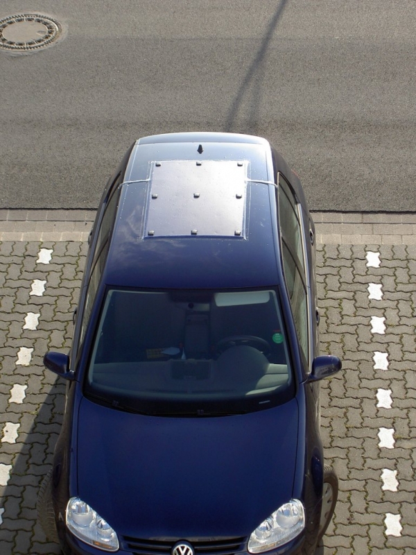
Automotive testing:
|
Robots, AGVs:
|
|
Structural monitoring:
|
Construction aereas:
|
The IMU is designed for ruggedized applications and is internally equipped with shock absorbers. As an option the unit also can be delivered hard-mounted, i.e. without shock-absorbers. The iIMU-FSAS can be operated on a unregulated wide range input supply voltage and is protected against wrong polarity and moderate over-voltage. The data output can be triggered and the data are sent via RS422 on an HDLC protocol or via RS232 / RS422 UART. As an option the system can be delivered with an additional integrated AHRS or navigation processor and with odometer interface. All signals are fed via an robust connector of type MIL-C-38999-III.
The iIMU-FSAS is manufactured in Germany and can be used in many commercial and defense applications as a replacement for Litton’s LN-200 or Honeywell’s HG1700/1900 in surveying applications. Compared to HG1700 the iIMU-FSAS has more than 10 times higher MTBF.