

Inertial Solutions for Surveying Applications
iMAR Solutions for Surveying Tasks:
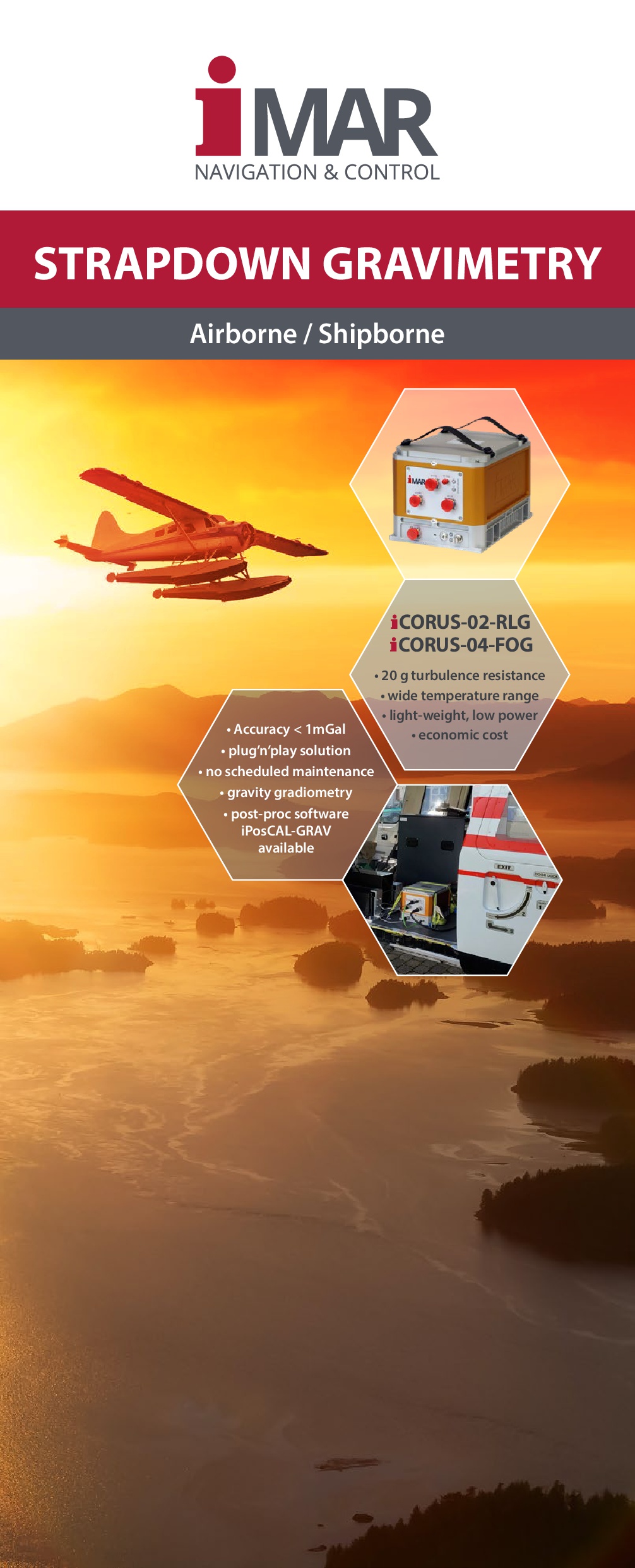
- Gravimetry / Gradiometry / Geophysics,
- Track Survey,
- Motion Dynamics Analysis,
- Automotive Testing on Proving Ground and on public Roads,
- Aircraft Testing, Training Aircraft Equipment for Pilot Education
- Geo- and Attitude Reference for LIDAR and Camera Systems,
- Drilling, horizintal and vertical, Drillhead Localization and Guidance,
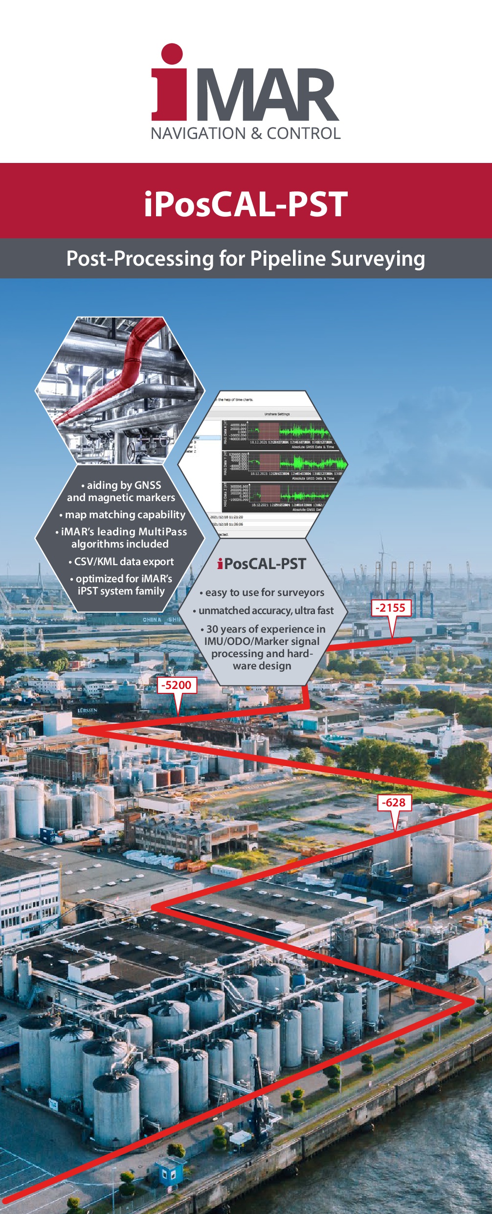
- Pipeline Surveying and Inspection,
- Transfer Alignment (3D spirit level for antenna nad weapon alignment),
- Defence,
- Customized Solutions for dedicated Surveying Applications,
- many others
One of many Examples for iMAR's Surveying Solutions: