3D-ALS: Ultra Precise INS/GNSS for LIDAR Applications (iAIRSURV)
iAIRSURV-LS1000: RLG or FOG based Advanced INS/GNSS Motion and Angle Reference and Surveying System for Laser Scanning Applications
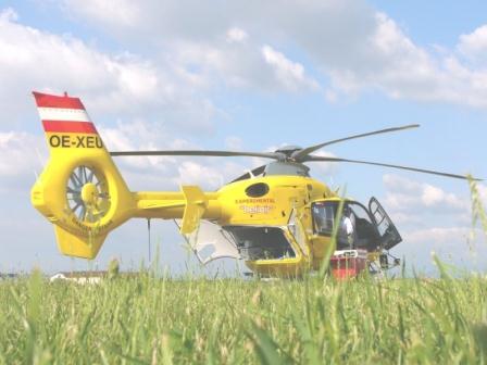
iAIRSURV-LS1000 is a complete INS/GNSS solution to support advanced air-borne laser scanning applications.
Features
- airborne laser scanner (Riegl, Leica, ...)
- high accurate inertial measurement system of type iNAV-RQT or iNAT-FSLG, aided with a GNSS receiver (GPS / GLONASS / GALILEO, BEIDOU) [class 0.002 deg/hr, 0.002 deg/sqrt(hr)]
- high resolution camera system synchronized to the laser scanning system
- powerful post-processing software, 1 cm / 0.000'8 deg performance