Testing algorithms in GNSS denied environment
The research and development community requires reliable data from INS/Lidar/odometer data acquisition to evaluate algorithms under GNSS denied conditions - with ODYSSEY we provide them, using our high performance INS as a reference:
Odyssey is a comprehensive ground vehicle dataset, developed to advance research in lidar–inertial odometry (LIO) and related localization methodologies. Covering 12 distinct and varied environments—ranging from constrained urban canyons to open rural road networks—the dataset enables rigorous evaluation of algorithmic robustness under diverse real-world conditions. In addition to LIO, Odyssey facilitates broader localization research, including place recognition via threefold sequence repetitions and the fusion of external mapping sources through the provision of accurate geodetic ground-truth coordinates.
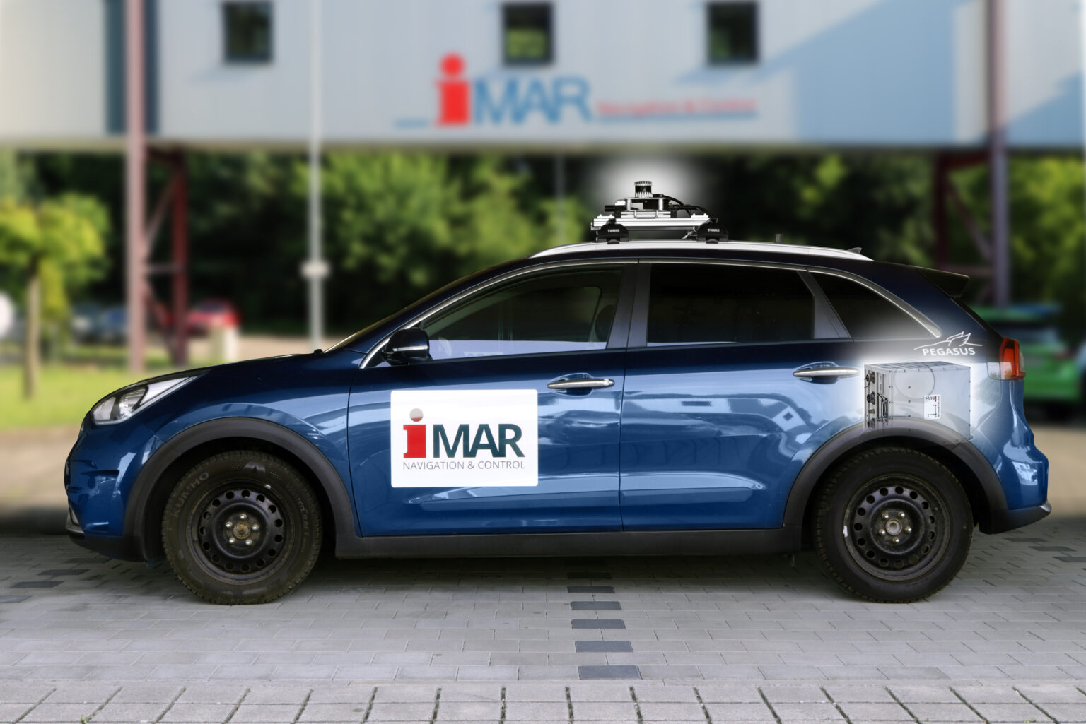
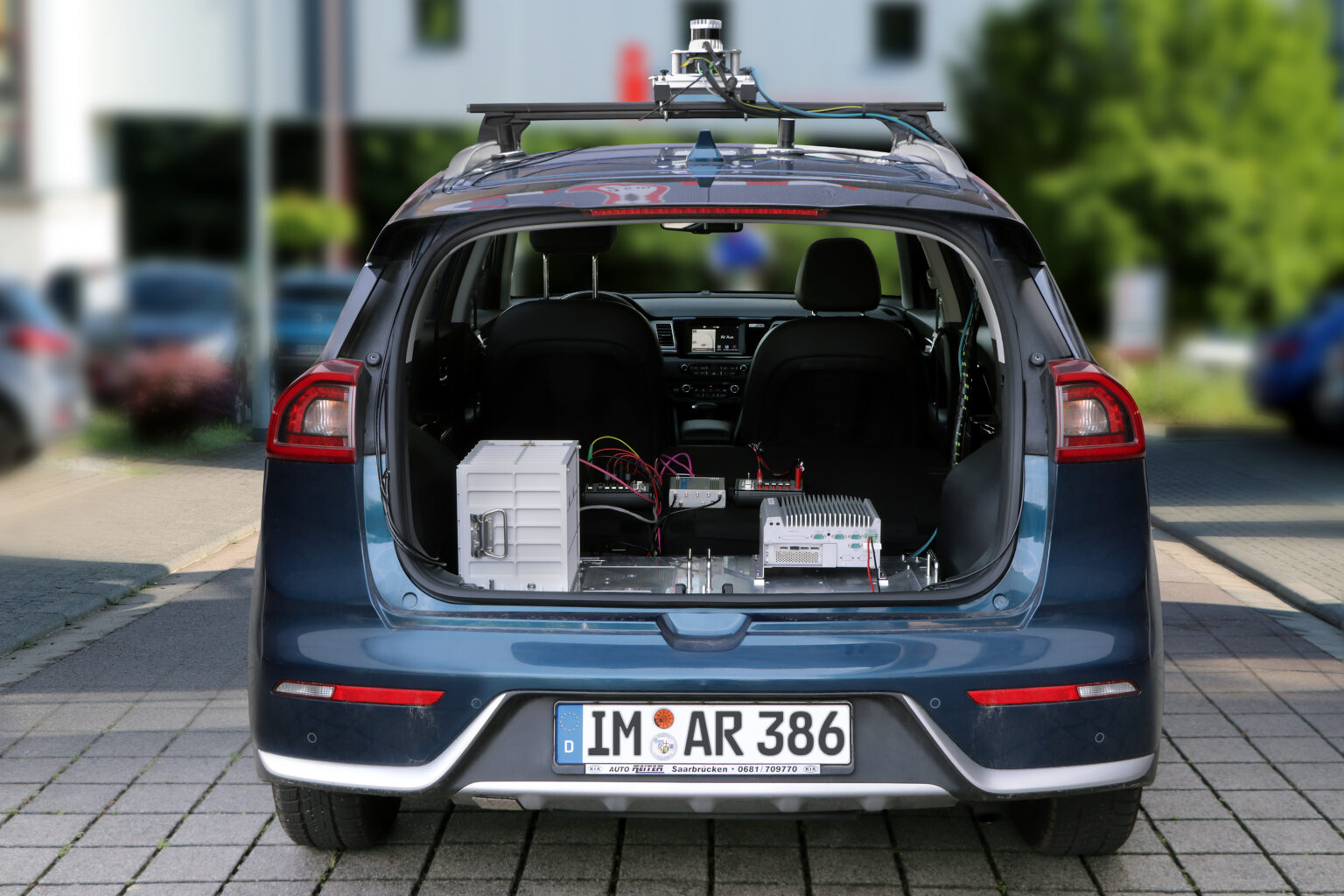
Odyssey provides
- lidar data from an Ouster OS1 rev.7, a 128-layer rotating lidar scanner
- inertial measurements from an iNAT M300-TLE-LN1, an automotive IMU
- and accurate ground truth poses from a iPRENA-M-II / iNAT-RQT, a navigation-grade, Ring Laser Gyroscope (RLG)-based RTK/INS
So, Odyssey is a candidate to be used by the worldwide reseach community to test their algorithms on validated Lidar-Inertial-Odometry data.
The dataset had been obtained during OKULAR, a project executed by iMAR Navigation and the Data Fusion Lab of University Göttingen.