Leading solutions for localization under GNSS denied constraints
Watch the published videos and contact us to improve yur localization in GNSS denied environment.
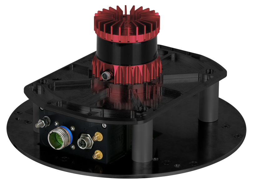
iLIANE is a leading solution for geo localization in GNSS denied environment. This video shows the setup (specific LiDAR sensor +and leading iNAT-M300 or iNAT-U200 inertial system) and some example results while driving through an industrial area (video #1) and an urban canyon including tunnels and parking garage (video #2).
No GNSS, no Wifi, no odometer, no magnetics, no nothing is needed for localization - just only iLIANE is required to solve your geo localizatin and heading determination within the most difficult environments - at day and at night!
Applications are in
- defence areas (e.g. surveying of and guidance through minefields)
- in industrial areas (vehicle automation)
- on construction areas and tunnels to guide machines with sub decimeter accuracy
- automotive areas (testing and guidance, repeatable ground-truth etc.)
- precise platooning
and in many other applications in automation, protection & control.
Links:
Weitere Informationen / Further information:
Datasheet: iLIANE - iMAR's INS/LiDAR solution for robust localization without GNSS, magnetics, WiFi, landmarks, ...